Works are carried out under License No. 183-GIN dated 21.12.2022, with the aim of studying the prospectivity of Jurassic and Paleozoic deposits. The area of the licensed block is 3,184.51 km2.
Administratively, the Bolashak area is located within Mangystau Region of the Republic of Kazakhstan.
The nearest settlement is the district center of Beineu, located 55 km away. The regional center, Aktau, is located 220 km to the southwest of the area.
A large part of the block is located in the Caspian water area, where the water depth ranges from 1.0 to 3 m. The nearest port for vessels is Bautino (80 km).
The prospectivity of the area is supported by discoveries in adjacent territories, including such fields as Koltyk, Karaturun, Komsomolskaya, and others.
As part of the work program carried out under the GIN, historical data were reprocessed and reinterpreted, and 2D CDP seismic field surveys totaling 613 linear km were conducted.
Based on the results of the seismic surveys carried out במסגרת the geological study of the subsoil, the prospectivity of the Mesozoic and Paleozoic deposits has been confirmed.
A Contract for the exploration and production of hydrocarbons under a complex project at the Bolashak subsoil block has been signed between the Ministry of Energy of the Republic of Kazakhstan and NC KazMunayGas JSC.
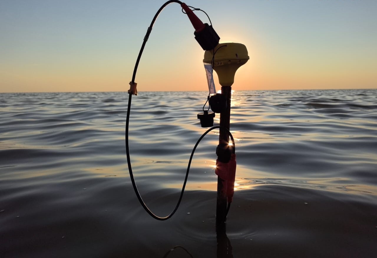
Quantum wireless geophone

Operations at a PV point
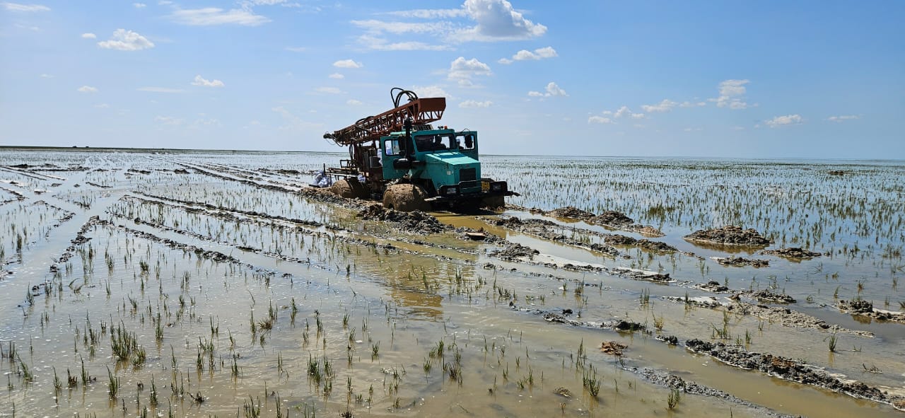
Relocation of the drilling rig to a PV point
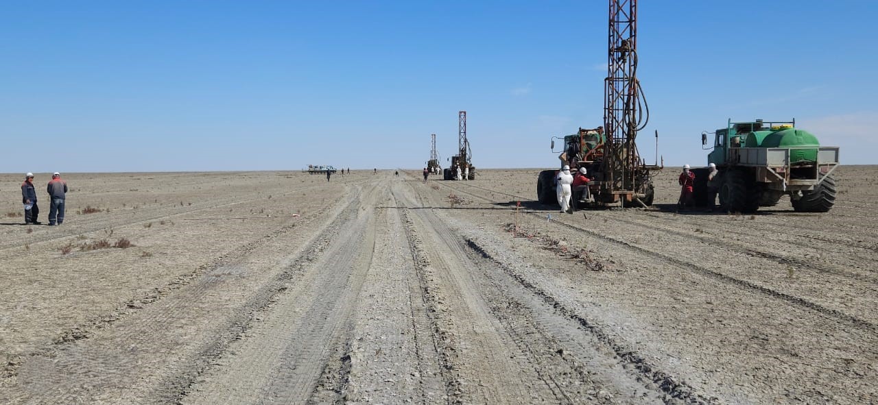
Drilling rigs in operation
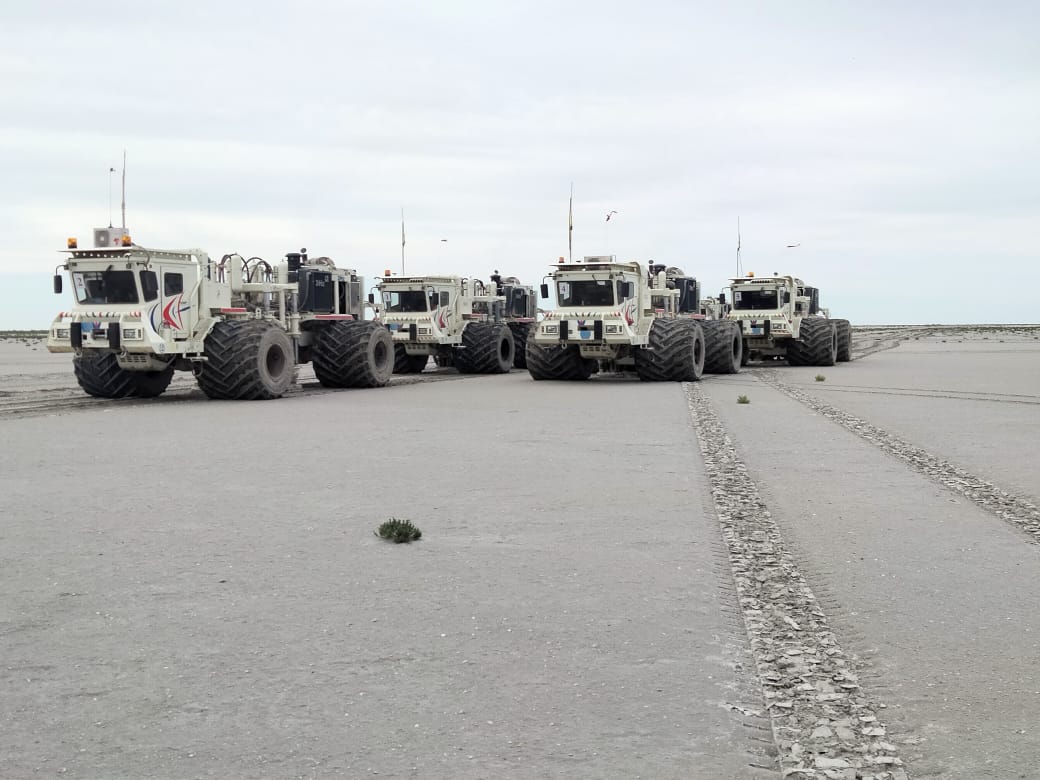
Vibroseis units at PV points
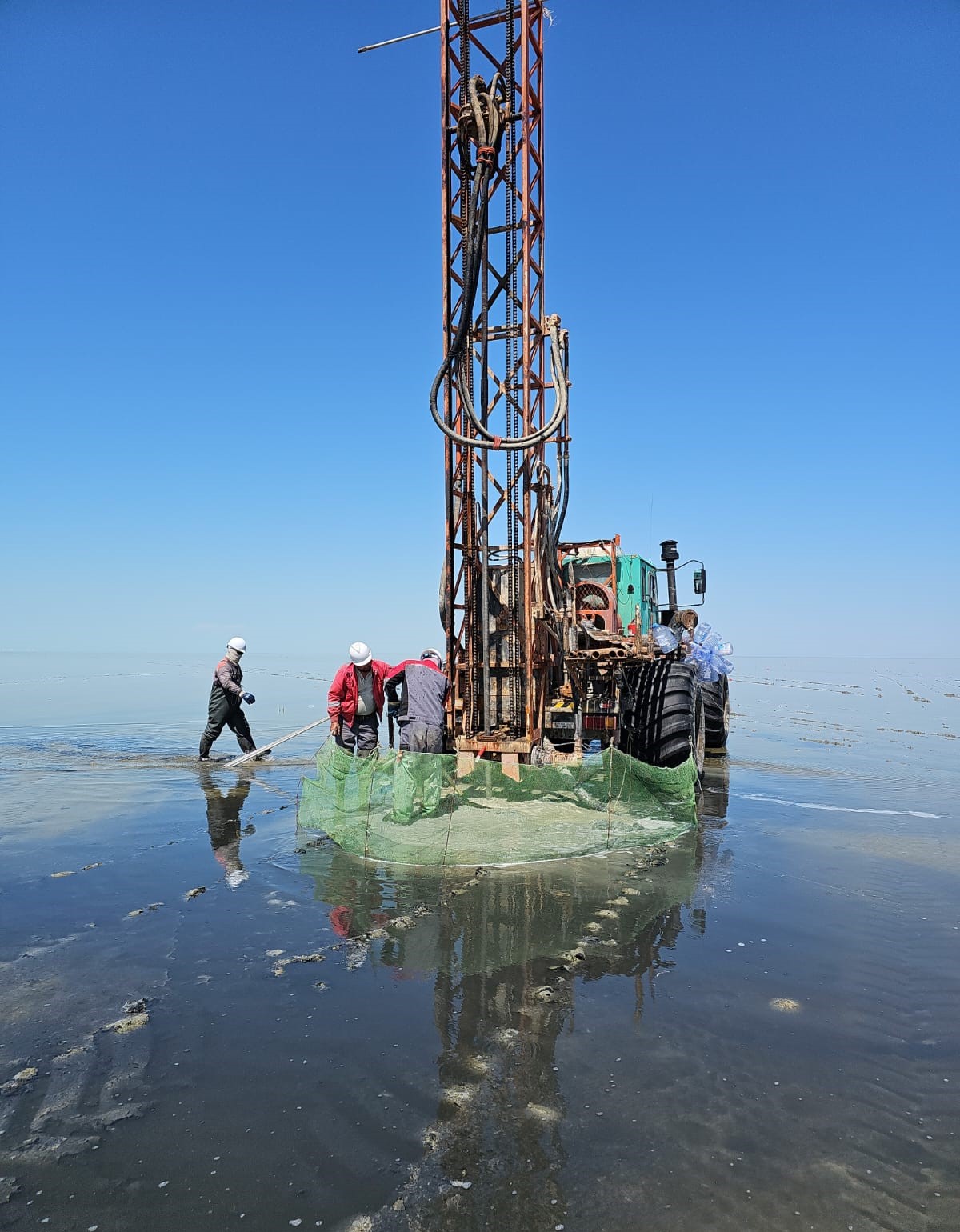
Drilling crew at work