The Northern Ozen site (Mangystau region) is located in the northern part of the Uzen–Karamandybas field within the Beke-Bashkuduk shaft of the Mangyshlak basin. By analogy with the Uzen-Karamandybas and Bekturly Vostochny deposits, the presence of non-structural traps of a channel nature crossing the structural slope of the Beke-Bashkuduksky shaft is predicted. Geological resources according to the probability of P50 for Jurassic deposits, excluding risks, amount to 24 million tons of oil. The planned volume of 3D field work is 400 full-time km2.
The Zharkyn site (Mangystau region) is located in the southwestern part of the Ustyurt-Buzachinsky basin within the South Buzachinsky trough. The main prospects are associated with Cretaceous and Jurassic deposits, where, in addition to anticline traps, favorable conditions are expected for the formation of lithologically shielded hydrocarbon deposits. According to the probability of P50, geological resources, excluding risks, amount to 114 million tons of oil. The planned volume of 2D field work with a grid of 4*4 km profiles is 1,276 full-time linear kilometers.
The Bolashak site (Mangystau region) is located in the northern part of the Ustyurt–Buzachinsky basin at the junction of two large tectonic elements - the Caspian and North Ustyurt depressions. Within the site, the structures of Sarytau, Salkyn and Ostrovnaya were identified using a rare network of 2D profiles. The prospects of oil and gas potential are associated with the deposits of the Mesozoic and Paleozoic complexes. According to the probability of P50, geological resources, excluding risks, amount to 225 million tons of oil. The planned scope of exploration work includes the reprocessing of historical 2D profiles with a length of 1,600 linear kilometers and field work of 613 full-time linear kilometers.
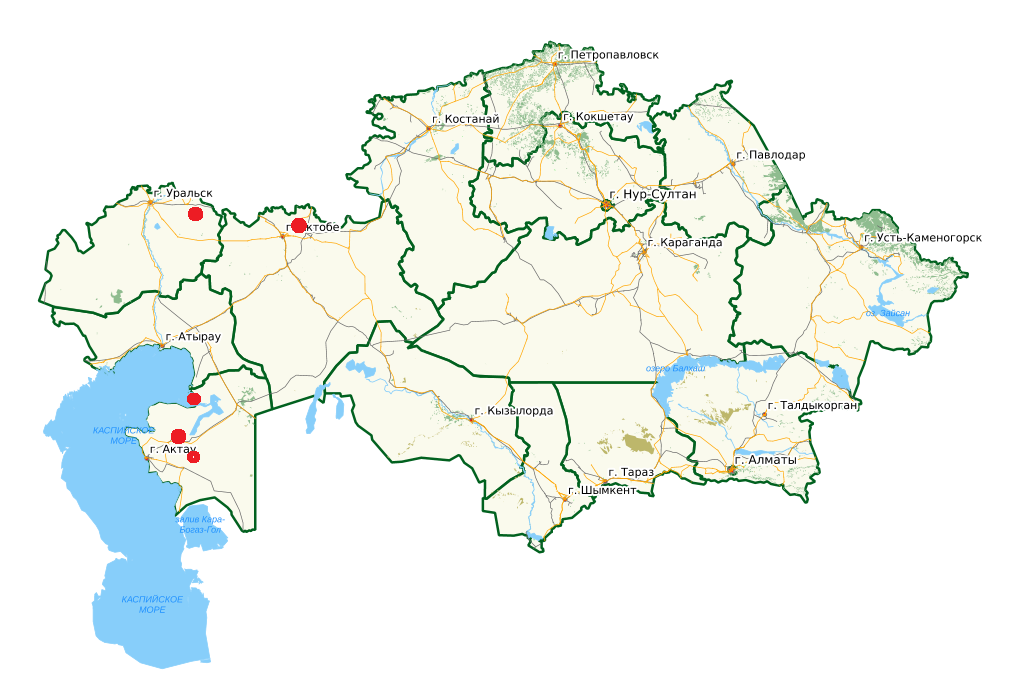
The Berezovsky site (West Kazakhstan region) is located in the northern side zone of the Caspian Depression. Taking into account the fact that large deposits of the northern side are confined to the protrusions of the foundation, further search for promising structures is associated with the correct mapping of the protrusions of the foundation. Geological resources according to the probability of P50 for deposits of Carboniferous and Devonian age, excluding risks, is 1.4 trillion m3 of gas and 1 billion tons of condensate. It is planned to carry out regional work to "cut" the ledge. To this end, it is proposed to perform three longitudinal seismic profiles deep into the Caspian basin from the border of the Republic of Kazakhstan to clarify the location of the ledge. The planned volume of 2D field work is 372 full-time linear kilometers.
The Mugodzhary site (Aktobe region) is located in the northern part of the eastern side of the Caspian Depression. By analogy with the Russian Federation, where more than a hundred deposits of analogues have been discovered, a likely similar distribution of a series of carbonate structures in the sediments of the Lower Permian and Carboniferous age along the forward deflection is expected. Open deposits on the territory of the Russian Federation, the presence of the Shyrak field, oil and gas manifestations and signs of oil in previously drilled wells confirm the oil and gas potential of the region. According to the probability of P50, geological resources, excluding risks, amount to 211 million tons of oil. The planned volume of 2D field work with a grid of 4*4 km profiles is 2562 full-time linear kilometers.